banner
CURRENT CONDITIONS
61° F

With a cluster of Wild & Scenic Rivers in neighboring northeast Oregon, a trip down the river is a truly magical experience and an easy weekend trip. The Wallowa River is designated as a Wild & Scenic River from the confluence of the Minam River and Wallowa River near Minam Store all the way to its meeting with the Grand Ronde River, which also boasts that designation. This 40 mile stretch of river heaven offers up countless beautiful and relaxing sites, from wildlife to geology to the sweet smells of blooming vegetation. One thing is for sure–you won’t see a road or think about a thing beyond the canyon walls.

  • What To Do
    • Fishing

      A nationally renowned sport fishery, the Wallowa and Grande Ronde rivers enjoy wild and hatchery stock runs of spring Chinook, fall Chinook, summer steelhead and rainbow trout. Whether wading into the gentle, slower flows of fall or braving the faster, snow-fed waters of spring, this area is sure to challenge even seasoned fishermen. Guided tours are available from various outfitters in the area, including Minam Store and Joining Waters, if you like to fish but perhaps don’t feel as comfortable in a raft. Remember, fishing regulations are highly specific and based on location and species. Please always consult the latest information available from the Oregon Department of Fish & Wildlife.

    • Kayaking/ Rafting

      Depending on your skill and comfort level, these rivers boast class II and, at times, class III rapids, so guided trips are not mandatory. Put in at the Minam Station Day-Use Area near Minam Store. There are five named rapids: Minam Roller (II), House Rock Drop or Red Rock (II), Vincent Falls (II+), Sheep Creek Rapids (II+), and Martin’s Misery (II+). From the day-use area, the Wallowa River meets the Grand Ronde River roughly 10 miles downstream. The first take out opportunity is 38 miles from the day-use area on the Grand Ronde River at Wildcat Bridge also known as Powwatka Bridge (2-3 day float trip). Paddle another 7.5 miles to the town of Troy and the confluence of the Grand Ronde River and Wenaha River. If you still aren’t ready to leave the river, continue another 19 miles on the Grand Ronde River to Boggan’s Oasis in Washington. It is possible to float all the way to the Snake River if you are up for the challenge (all 91 miles). Note that the Narrows is a class IV or class V rapid a few bends upstream near the confluence with the Snake River and take out at Heller Bar.

      The Minam Store folks offer up varying levels of support--shuttle services, guided tours, and raft rentals to name a few. This float can last two or three days based on how much you want to play along the way. There are plenty of opportunities to stretch your legs up a ridge or two to take in the views and do a little birdwatching. If you aren’t familiar with the river, the guided option might be the way to go. We’ve worked with Minam Store guides to gain familiarity with the area and learn more about rafting. Because the water isn’t crazy huge, it is a great river to really relax and enjoy with the family, look for wildlife, and learn a lot about navigating the river for future trips.

  • What To Expect

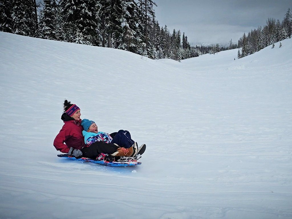
    Plan on at least a two day trip if beginning your float prior to the Wallowa and Grande Ronde confluence. There are primitive campsites along the river that are first-come first-serve. Regulations require fire pan usage to prevent wildfires and portable toilet use. With approximately 50,000 visitors to the Minam Station Day-Use Area per year, everyone must do their part to minimize our collective impact.

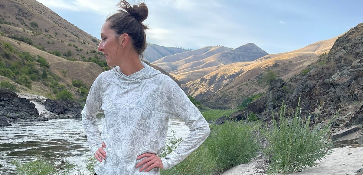
    Whatever your expectation for the journey--communal/ solitary, planned/ wild--there is a trip for you. The Minam Store partners with wineries and restaurateurs in the valley for a more catered and delicious experience. They can also simply provide a guide and some words of wisdom as well--just live off a bag of trail mix for the weekend. Expect heavier use during the spring when the rivers are at their peak flows. If your schedule allows, give a mid-week trip a try. Though these rivers lack big rapids, they by far make up for it with big views.

  • When To Go

    According to the National Wild & Scenic River Systems website, the river is ready to float from ice breakup in the spring to its freezing up in the fall. That sounds like grounds for a dry-suit. Typically, float trips start in May for recreational use and continue through the fall for fishing trips. Each year, each day for that matter, conditions can change drastically based on the season and weather. Always consult the forecast and up-to-date river conditions before shoving out.

  • How To Get There

    Please do not solely rely on Google Maps as their route might not always reflect what is maintained. From Walla Walla, take HWY 11 south through Milton-Freewater, OR. Travel another five miles and turn left on Winn Road. Follow this little back road for two miles and then turn left to connect with HWY 204. Continue on HWY 204 to the town of Elgin, OR. Once you reach Elgin, take a left on South 8th Avenue and then take right on Albany Street/Wallowa Lake HWY/HWY 82. In approximately 13 miles you will arrive to the Minam Station Day-Use Area on your left, which is just prior to crossing the bridge over the Wallowa River. The Minam Store is just across the bridge.

Please do not solely rely on Google Maps as their route might not always reflect what is maintained.

  • Your Public Lands

    Wild & Scenic River, State Scenic Waterways, Oregon State Parks, Umatilla National Forest, Bureau of Land Management, National Park Service, U.S. Fish and Wildlife Service, and U.S. Forest Service

  • Distance:

    Within 1.5 Hours

  • Difficulty Level:

    Day Tripper, Adventurer, Mountaineer

  • Seasons:

    Spring, Summer, Fall

  • Elevation:

    3,504 feet

  • Pets:

    No

  • Reservations:

    N/A

  • ADA:

    No

  • Multi-Use:

    N/A

  • Motorized Vehicles :

    N/A

  • Fees

    There are no fees to park and launch a personal raft; however, if interested in a guided trip, please reach out directly to the outfitter.

  • Permits

    Valid Oregon fishing license (if fishing). Fishing licenses are available online via the Oregon Department of Fish & Wildlife or can be purchased at Minam Store. To use the river, a self-issue boating permit is required for every boating party. These permits are free of charge and available at all major access points.

  • Regulations

    Every boating party is required to carry and use a portable toilet suitable for the size of the group. All open fires much be contained in a fire pan, and ash and charcoal must be packed out with other garbage. See the bulletin boards for updated information at all major access points.

  • Amenities

    There is a vault toilet at Minam Station Day-Use Area.

  • Wildlife Awareness

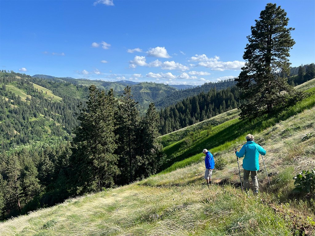
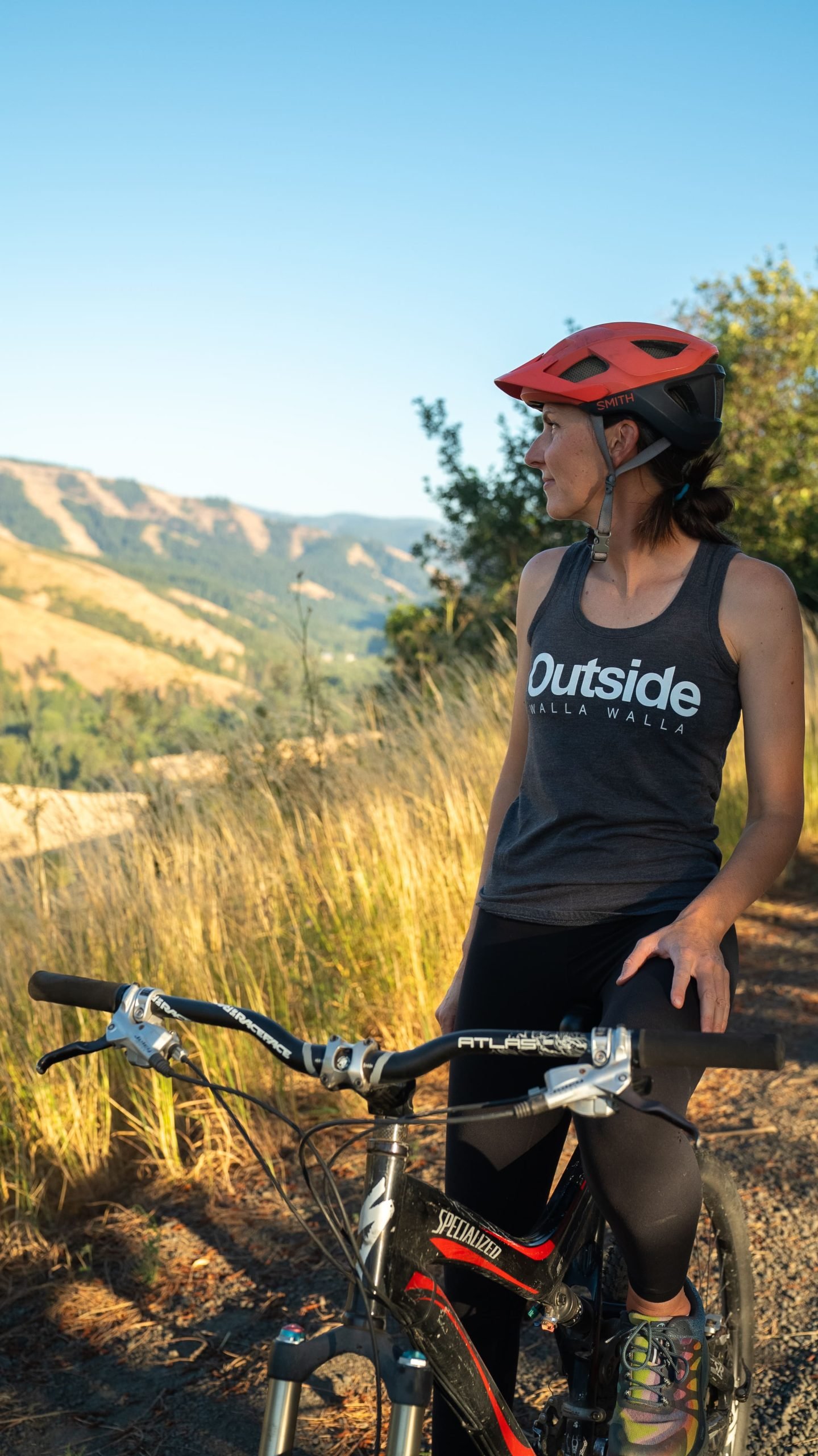
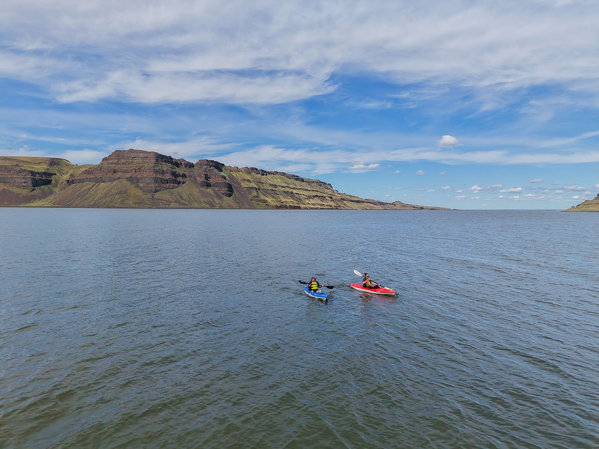
    We are all so fortunate to recreate in the Blue Mountains. So many opportunities exist to play outside whether in a national forest, wilderness area, on a Wild and Scenic River, and more! With these opportunities comes great responsibility to appreciate that we are mere visitors and should all take pride in being good stewards of the wild. Many animals call these protected places home, including moose, elk, bear, cougar, bobcat, and snakes to name a few. Take precautions to respect their home and understand the appropriate response should an encounter occur. 
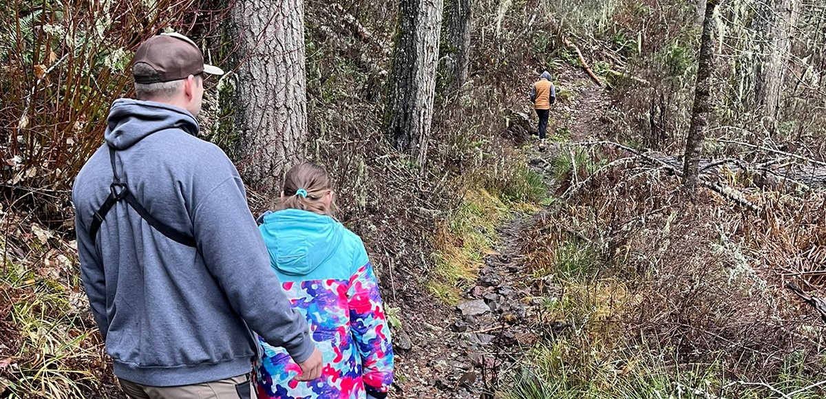
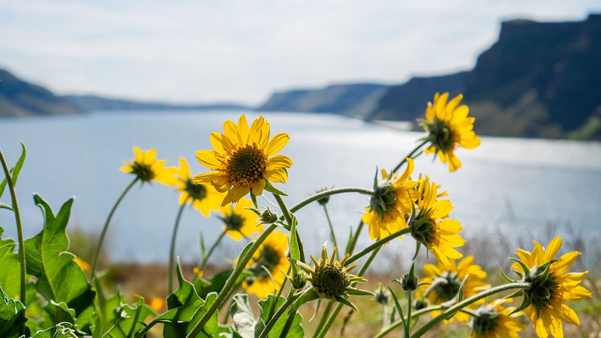
Additionally, many plant species thrive in the Blue Mountains, so staying on trail is always good practice. Carry First Aid supplies to better respond to accidents or encounters, and always let others know where the day's adventure is taking you.

  • Field Notes

    Navigation: Consider downloading the Avenza Map app. This app allows users to upload three maps (or unlimited with a subscription) to use offline. It can track your location offline and overlay GPS data from the phone onto the map. The vehicle use maps (for trails allowing motorized vehicles) are the easiest to use. Otherwise, Geo Tracker offers similar tracking capabilities and additional details about your adventure. If no service, Geo Tracker will at least show your location. The Blue Mountains and surrounding area offer a remote recreating experience, and knowing your location is paramount to staying safe. Always make sure to bring paper maps. Tell others where your adventure is taking you and when you expect to return.

    Difficulty Level: Here is what we are thinking when we assign a difficulty level: Day Tripper--You don't have much experience in the area but want to get outside! Great for families of all ages. Adventurer--You know your way around the Blue Mountains and love a leisurely day outdoors. Mountaineer--You are ready for a challenge. Wild places excite you and sweat is the goal. Small children beware. Keep in mind some activities may apply to multiple difficulty levels based on usage.

    Pets: In general, pets are allowed on a leash and under control throughout jurisdictions. The only restrictions we have encountered are around swimming areas. As a best practice, be mindful of riparian habitat in general. You never know where a precious spawning area might be located. Pack it in and pack it out applies to your furry friend as well.