banner
CURRENT CONDITIONS
28° F

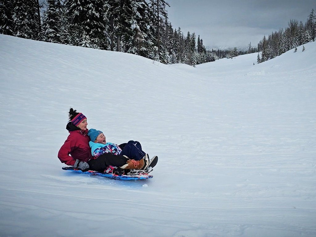
As the premier ski resort in our area, Ski Bluewood never fails to impress. With an average of over 300 inches of snow a year, the powder delivers more times than not. Plenty of trails, loads of tree skiing, and terrain parks are just a few of perks of this sun-filled pocket of Blue Mountain snow heaven.

  • What To Do
    • Downhill Skiing

      Over 400 acres of lift-serviced skiable area, 24 trails, three terrain parks, two chair lifts, snowcat service to an additional 200 acres of advanced, ungroomed skiing, private lessons, and still more is all available less than sixty miles from Walla Walla. This affordable and family-friendly resort is a great place to escape the fog in the valley and enjoy fresh, dry mountain air.

  • What To Expect

    Ski Bluewood continues to invest in making a day on the mountain even more fun year in and year out. There is something for every age and ability. There are also plenty of resources to help you increase your abilities. Consider following Ski Bluewood on social media as they keep snow enthusiasts updated year round--projects in the off season that promise even more fun in the coming season, when they plan on opening, what the weather is like, and fun posts highlighting events on the mountain. With so many different ways to experience the mountain and programs to help you get better, buy a pass and enjoy for as long as the season will allow.

  • When To Go

    The last few years have made predicting open day harder and harder, and the season seems to be shifting as of late. As the season approaches, Ski Bluewood does an excellent job of letting everyone know when to start applying that fresh layer of wax.

  • How To Get There

    Please do not solely rely on Google Maps as their route might not always reflect what is maintained. From Walla Walla take HWY 12 east to Dayton, WA. You will drive almost all the way through the sweet, small town of Dayton, which is a great place to pick up a few supplies, grab a bite, or enjoy its history. Take a right on South 4th Street/ North Touchet Road, you will see a sign for Ski Bluewood.The resort is approximately 19 miles down North Touchet Road on the left.

Please do not solely rely on Google Maps as their route might not always reflect what is maintained.

  • Your Public Lands

    Umatilla National Forest (Walla Walla Ranger District)

  • Distance:

    Within 1.5 Hours

  • Difficulty Level:

    Day Tripper, Adventurer, Mountaineer

  • Seasons:

    Spring, Fall, Winter

  • Elevation:

    4,545 - 5,670 feet

  • Pets:

    No

  • Reservations:

    N/A

  • ADA:

    No

  • Multi-Use:

    N/A

  • Motorized Vehicles :

    N/A

  • Fees

    See the Ski Bluewood website for current lift ticket prices, lesson rates, and rental fees.

  • Permits

    None

  • Regulations

    None other than being good stewards of the land!

  • Amenities

    The lodge has plenty of room for indoor or outdoor snacking and lunch breaks. There is a cafeteria and pub downstairs. There is also a rental and repair shop for all your equipment needs.

  • Wildlife Awareness

    We are all so fortunate to recreate in the Blue Mountains. So many opportunities exist to play outside whether in a national forest, wilderness area, on a Wild and Scenic River, and more! With these opportunities comes great responsibility to appreciate that we are mere visitors and should all take pride in being good stewards of the wild. Many animals call these protected places home, including moose, elk, bear, cougar, bobcat, and snakes to name a few. Take precautions to respect their home and understand the appropriate response should an encounter occur. Additionally, many plant species thrive in the Blue Mountains, so staying on trail is always good practice. Carry First Aid supplies to better respond to accidents or encounters, and always let others know where the day's adventure is taking you.

  • Field Notes

    Navigation: Consider downloading the Avenza Map app. This app allows users to upload three maps (or unlimited with a subscription) to use offline. It can track your location offline and overlay GPS data from the phone onto the map. The vehicle use maps (for trails allowing motorized vehicles) are the easiest to use. Otherwise, Geo Tracker offers similar tracking capabilities and additional details about your adventure. If no service, Geo Tracker will at least show your location. The Blue Mountains and surrounding area offer a remote recreating experience, and knowing your location is paramount to staying safe. Always make sure to bring paper maps. Tell others where your adventure is taking you and when you expect to return.

    Difficulty Level: Here is what we are thinking when we assign a difficulty level: Day Tripper--You don't have much experience in the area but want to get outside! Great for families of all ages. Adventurer--You know your way around the Blue Mountains and love a leisurely day outdoors. Mountaineer--You are ready for a challenge. Wild places excite you and sweat is the goal. Small children beware. Keep in mind some activities may apply to multiple difficulty levels based on usage.

    Pets: In general, pets are allowed on a leash and under control throughout jurisdictions. The only restrictions we have encountered are around swimming areas. As a best practice, be mindful of riparian habitat in general. You never know where a precious spawning area might be located. Pack it in and pack it out applies to your furry friend as well.