banner
CURRENT CONDITIONS
30° F

Recreation is a significant piece of the services the US Army Corp of Engineers and Washington Department of Fish & Wildlife provide to the community. In our community, and with regard to fishing, that translates into a handful of managed access areas. Enjoy access to the Walla Walla and Touchet Rivers, Mill Creek, and Bennington Lake. These locations offer convenient access for purposes of a quick morning outing before work or chores. They are also a kid-friendly option that doesn’t require all the planning and logistics of more distant destinations.

  • What To Do
    • Fishing

      All five locations are easily accessible. Dodd Public Fishing Area is the furthest location with perhaps the most challenging access as the bank is quite steep. The other three river access locations are McDonald Road Public Fishing Area, Swegle Road Public Fishing Area, and Stovall Road Public Fishing Area. Those three areas are clustered just west of Walla Walla and have better shoreline access. The Stovall Road Public Fishing Area is roughly 1/4 mile from the river, the longest walk of the river access areas. The last US Army Corp of Engineer location is Bennington Lake, which is discussed in a separate post. Fishing regulations are highly specific and based on location and species. Please always consult the latest information available from the Washington Department of Fish & Wildlife.

  • What To Expect

    Dodd Public Fishing Area: Located on the Touchet River, a short walk through a riparian area gives access to a 25 foot easement along the west bank of the river and stretches for 1/2 mile downstream. Be sure to abide by these boundaries and do not trespass on neighboring lands.

    McDonald Road Public Fishing Area: This parking area is close to the Walla Walla River with roughly 1/4 mile of river access on both sides of the bridge. The easement on the west side of the bridge is on the south bank of the river, while east of the bridge has easements on both the north and south banks. The southern easement on the west side of McDonald Road also allows for hunting by shotgun and archery as a point of awareness.

    Stovall Road Public Fishing Area: This access point requires you to walk about a 1/4 mile through some grassland and light vegetation to reach the river. This large fishing area gives access to both the Walla Walla River and Mill Creek. There is a 25 foot easement on both banks of Mill Creek and a 50 foot easement on the north bank of the Walla Walla River.

    Swegle Road Public Fishing Area: Also known as Bughi, there is roughly 1/2 mile of access to the Walla Walla River east of Swegle Road on both the north and south banks of the river. The easement is bordered by farm land for reference. Hunting is also allowed by shotgun and archery as a point of awareness.

  • When To Go

    Since fishing regulations are highly specific, the season depends on regulations published by the Washington Department of Fish & Wildlife; however, the three in-town river access areas are great locations to explore the river and habitat surrounding the river as a family. Even if it isn’t fishing season, consider a morning of bird watching and rock skipping.

  • How To Get There

    Please do not solely rely on Google Maps as their route might not always reflect what is maintained. Dodd Public Fishing Area: From Walla Walla, head west on HWY 12 to Touchet, Washington. Take a right on North Touchet Road, which is the first right after the gas station. The street is not marked. Travel 7.5 miles to the Dodd Public Fishing Area on the right. McDonald Road Public Fishing Area: From downtown Walla Walla, head west on HWY 12 for 11 miles and turn left on McDonald Road. In less than 1/4 mile you will cross a bridge over the Walla Walla River and the parking area is on your left. Stovall Road Public Fishing Area: From downtown Walla Walla, head west on Rose Street. Cross Myra Road into College Place and take the first right onto Wallula Avenue and continue all the way to Old HWY 12. Turn west on Old HWY 12 for two miles and take a left onto Swegle Road. Go to the end of Swegle Road and turn right onto Stovall Road. The parking area is on your right in less than 1/4 mile. Swegle Road Public Fishing Area: Take Rose Street west from downtown and cross Myra Road, entering the town of College Place. Take your first right onto Wallula Avenue and continue all the way to Old HWY 12. Keep heading west for two miles and turn left on Swegle Road. You will cross over Mill Creek and the next bridge will cross over the Walla Walla River. The parking area is on the left.

Please do not solely rely on Google Maps as their route might not always reflect what is maintained.

  • Your Public Lands

    U.S. Army Corps of Engineers (Walla Walla District), Washington Department of Fish & Wildlife

  • Distance:

    Within 1.5 Hours

  • Difficulty Level:

    Day Tripper, Adventurer

  • Seasons:

    Spring, Summer, Fall, Winter

  • Elevation:

    900 feet average

  • Pets:

    No

  • Reservations:

    N/A

  • ADA:

    No

  • Multi-Use:

    N/A

  • Motorized Vehicles :

    N/A

  • Fees

    None

  • Permits

    Valid Washington fishing license (if fishing). Fishing licenses are available online via the Washington Department of Fish & Wildlife or local retail shops such as Bi-Mart, Wal-Mart, Sportsman's Warehouse, Big 5 Sporting Goods, Cascade Farm and Outdoor, and Dunning Irrigation. Also required is a WDFW Access Pass (free with the purchase of a fishing or hunting license) or a Discover Pass.

  • Regulations

    No camping or overnight stay is allowed at these location. Fishing regulations are highly specific and based on location and species. Please always consult the latest information available from the Washington Department of Fish & Wildlife.

  • Amenities

    Pack in and pack out. No facilities available at the public fishing areas. Leave no trace!

  • Wildlife Awareness

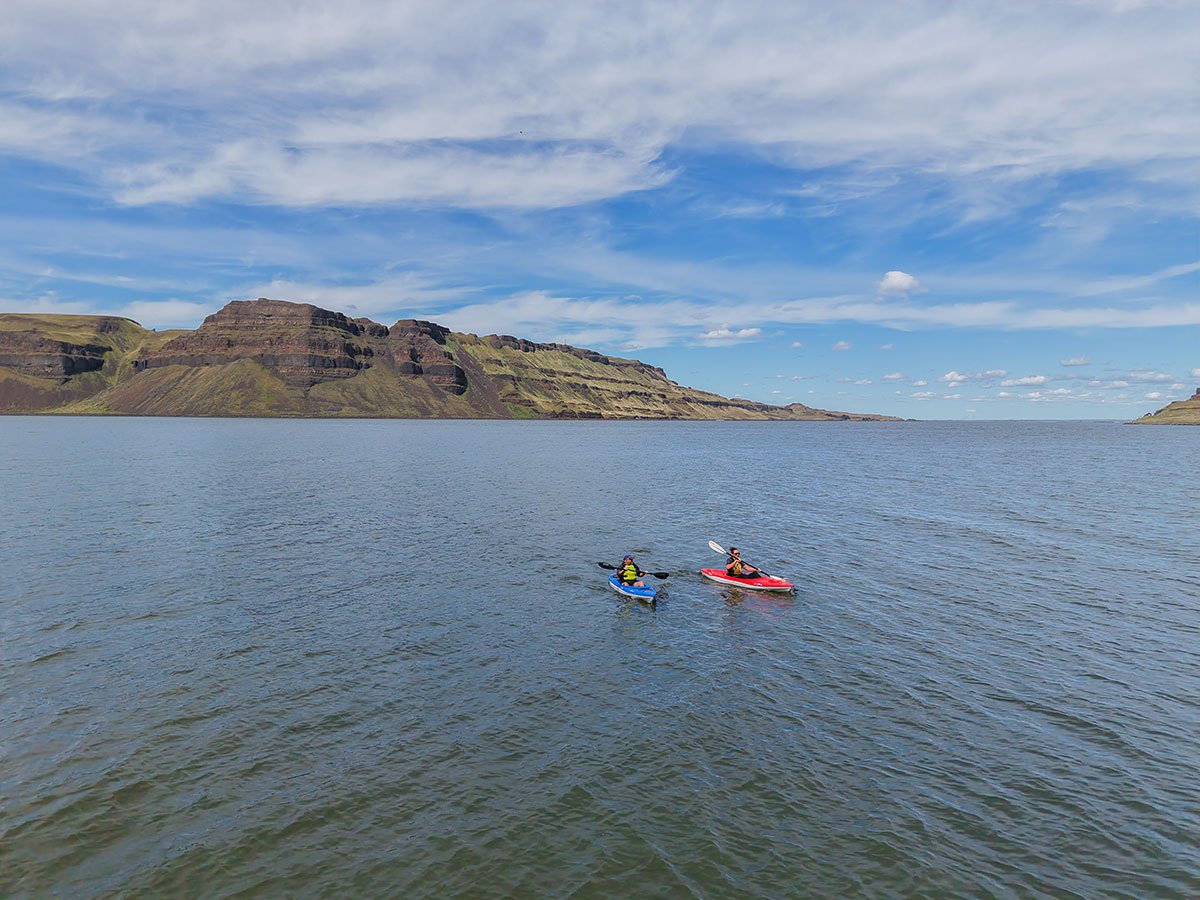
    We are all so fortunate to recreate in the Blue Mountains. So many opportunities exist to play outside whether in a national forest, wilderness area, on a Wild and Scenic River, and more! With these opportunities comes great responsibility to appreciate that we are mere visitors and should all take pride in being good stewards of the wild. Many animals call these protected places home, including moose, elk, bear, cougar, bobcat, and snakes to name a few. Take precautions to respect their home and understand the appropriate response should an encounter occur. 
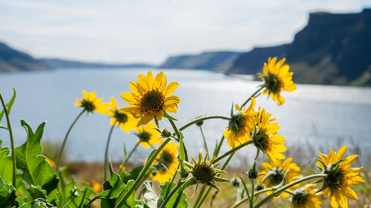
Additionally, many plant species thrive in the Blue Mountains, so staying on trail is always good practice. Carry First Aid supplies to better respond to accidents or encounters, and always let others know where the day's adventure is taking you.

  • Field Notes

    Navigation: Consider downloading the Avenza Map app. This app allows users to upload three maps (or unlimited with a subscription) to use offline. It can track your location offline and overlay GPS data from the phone onto the map. The vehicle use maps (for trails allowing motorized vehicles) are the easiest to use. Otherwise, Geo Tracker offers similar tracking capabilities and additional details about your adventure. If no service, Geo Tracker will at least show your location. The Blue Mountains and surrounding area offer a remote recreating experience, and knowing your location is paramount to staying safe. Always make sure to bring paper maps. Tell others where your adventure is taking you and when you expect to return.

    Difficulty Level: Here is what we are thinking when we assign a difficulty level: Day Tripper--You don't have much experience in the area but want to get outside! Great for families of all ages. Adventurer--You know your way around the Blue Mountains and love a leisurely day outdoors. Mountaineer--You are ready for a challenge. Wild places excite you and sweat is the goal. Small children beware. Keep in mind some activities may apply to multiple difficulty levels based on usage.

    Pets: In general, pets are allowed on a leash and under control throughout jurisdictions. The only restrictions we have encountered are around swimming areas. As a best practice, be mindful of riparian habitat in general. You never know where a precious spawning area might be located. Pack it in and pack it out applies to your furry friend as well.