banner
CURRENT CONDITIONS
64° F

The Horseshoe Prairie Nordic Ski Area was created in the 1980s as a non-groomed trail system. An array of routes keep winter enthusiasts coming back. If the variety doesn’t grab your attention, the scenery will. Just a short distance from Walla Walla, cross country skiers and snowshoers have plenty of room to play in the mountains. This area is experiencing a wonderful revival of winter recreation opportunity. The Blue Mountain Land Trust’s Blues Crew has formally adopted the Horseshoe Prairie Nordic Ski Area. It is now in loving and hard working hands. Not only are the trails maintained, but more importantly they are clearly marked. Enjoy the trail system as a leisurely escape or intense, endurance workout. Don’t try to see the entire area in one day. This revitalized area is here to stay.

  • What To Do
    • Snowshoeing/ Cross Country Skiing

      Roughly 10 miles of marked trails await cross country skiers. Snowshoeing is also allowed, but to preserve the cross country skiing experience please stay off the cross country skiing tracks. There is plenty of room on either side or in the middle of the skiing tracks to float on fresh powder for the snowshoers. Thanks to the Blue Mountain Land Trust's volunteer trail maintenance group, the Blues Crew, the Horseshoe Prairie Nordic Ski Area now displays updated signage and accurate mapping. Visit the land trust's Horseshoe Prairie Nordic Ski Area page to view the loops available, including the groomed Tamarack Trail. With a variety of trails to choose from, snow enthusiasts can spend a few hours or all day exploring the forest and enjoying the views.

      As part of the Blues Crew efforts, meticulous mapping updates to the REI Hiking Project are complete. This application offers users the opportunity to track their location, update trail conditions, and rate their experience. As an example, visit the Tamarack Trail, the trail slated for regular grooming.

  • What To Expect

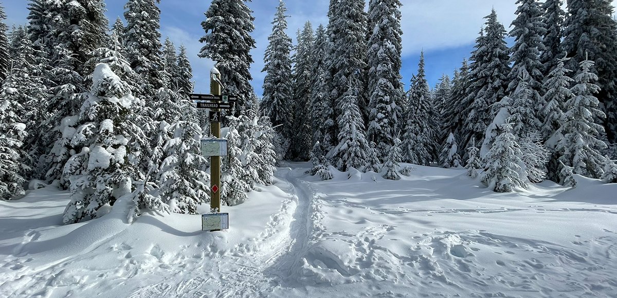
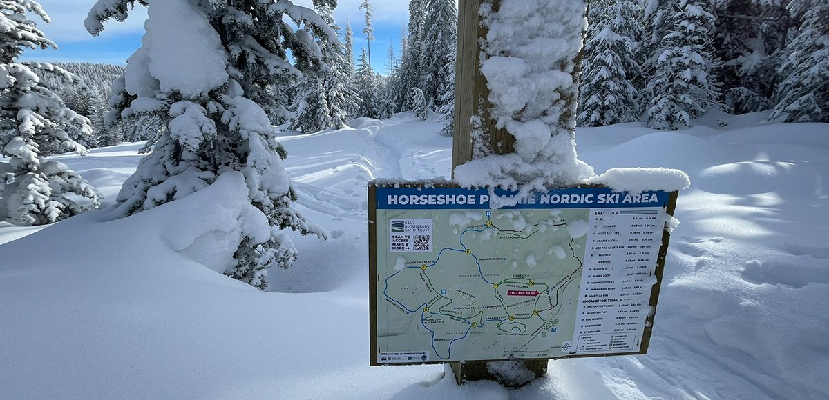
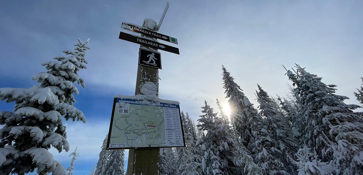
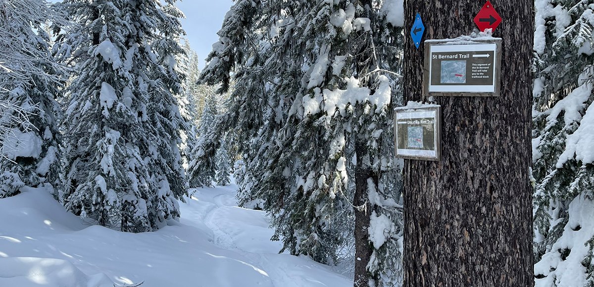
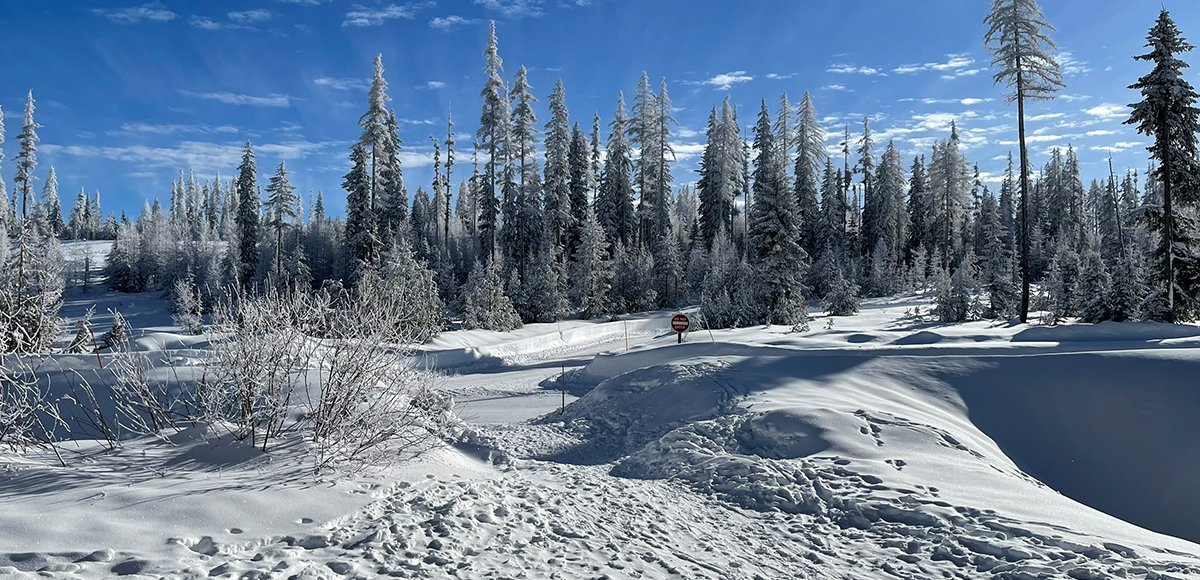
    Make sure you are prepared for changing weather (dress in layers, have a compass and/or map, bring food and water, and let somebody know of your plans). The forest is absolutely lovely covered in snow and so quiet. If you can catch a crisp, clear day, you won’t want to be anywhere else. The trails are well marked and signage throughout helps guide first-time users. Consider taking a picture of the map on the sign at the entrance just in case. There is also a kiosk offering brochures, which include the map.

  • When To Go

    Obviously the season starts at the mercy of the weather, but typically expect a November start date and enjoy the trails for potentially another five months. Whenever the valley is foggy and gray, gain elevation as quick as you can. Likely, the sun is out for what feels like the rest of the world (just not Walla Walla). There is a Tollgate web camera that may allow users the opportunity to scout conditions.

  • How To Get There

    Please do not solely rely on Google Maps as their route might not always reflect what is maintained. From Walla Walla, take HWY 11 south through Milton-Freewater, OR. Travel another five miles and turn left on Winn Road. Follow this little backroad for two miles and then turn left to connect with HWY 204. Travel east on HWY 204 for approximately 26 miles to Andies Prairie Sno-Park on your left. Use this parking area; do not park on the side of the highway. This is a multi-use parking space for the sledding area, snowmobile load/unloading, and nordic ski area. After you park, walk to the exit of the parking lot (it is one-way). Carefully cross HWY 204 to the Horseshoe Prairie Nordic Ski Area entrance.

    Note that when you arrive at the end of the parking lot, it very well could just look like a large, plowed snow bank. Sometimes there is a small path folks have depressed after climbing up that snow bank, but if you are the first to arrive know that you will likely need a boost from your fellow snow adventurer. Once you roll over the wall of snow, the sign for the Horseshoe Prairie Nordic Ski Area is there to greet you. There is potential for the Oregon Department of Transportation to clear this entrance as part of snow maintenance, so please express gratitude when the path is clear.

Please do not solely rely on Google Maps as their route might not always reflect what is maintained.

  • Your Public Lands

    Umatilla National Forest (Walla Walla Ranger District)

  • Distance:

    Within 1.5 Hours

  • Difficulty Level:

    Day Tripper, Adventurer, Mountaineer

  • Seasons:

    Winter

  • Elevation:

    5,000 feet

  • Pets:

    No

  • Reservations:

    N/A

  • ADA:

    No

  • Multi-Use:

    No

  • Motorized Vehicles :

    No

  • Fees

    None

  • Permits

    Oregon Sno-Park Permits are required November through April. Permits are sometimes available at Ranch & Home just across the stateline in Milton-Freewater, OR. The Alpine Outpost in Tollgate, OR also sells the permit (and all sorts of goodies, coffee drinks, and meals to name a few). Oregon Sno-Park Permits are available online. This site also lists current agents authorized to sell the permit.

  • Regulations

    No motorized vehicles are allowed in the Horseshoe Prairie Nordic Ski Area. Please practice Leave No Trace principles when recreating on these precious lands.

  • Amenities

    Vault toilets available at the Andies Prairie Sno-Park.

  • Wildlife Awareness

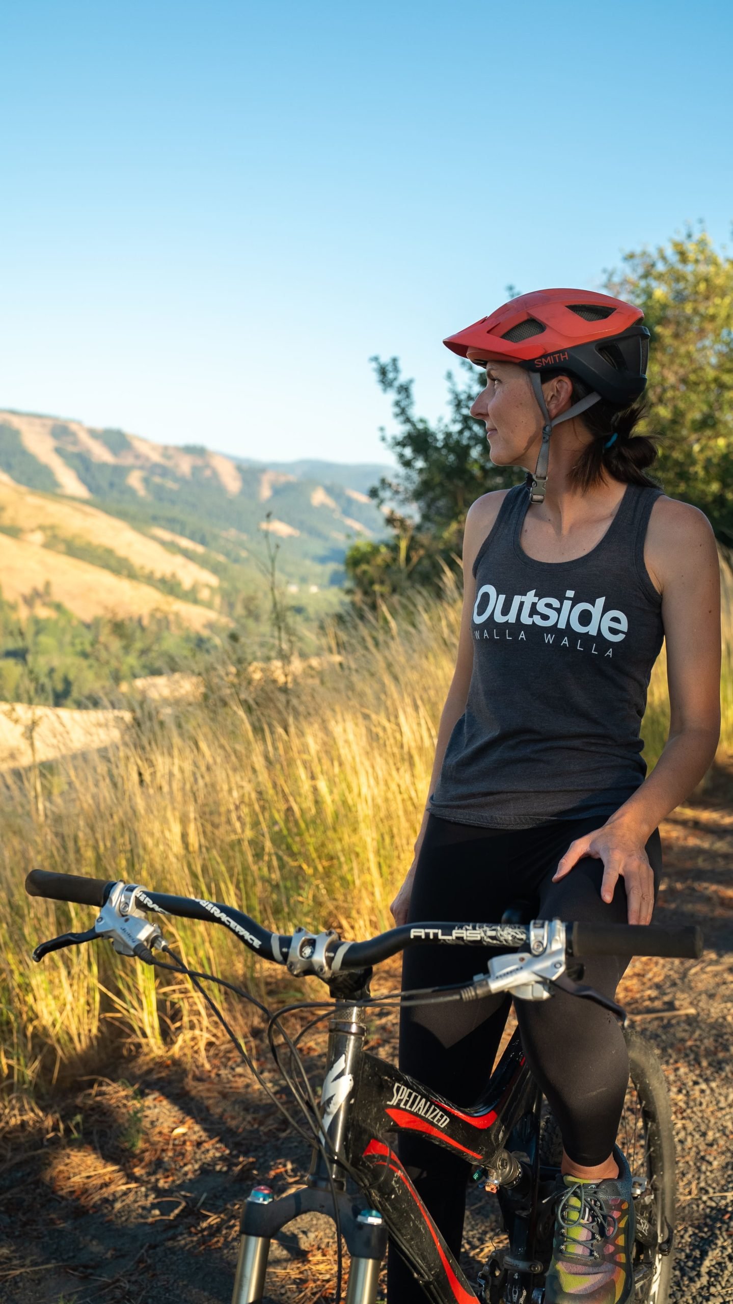
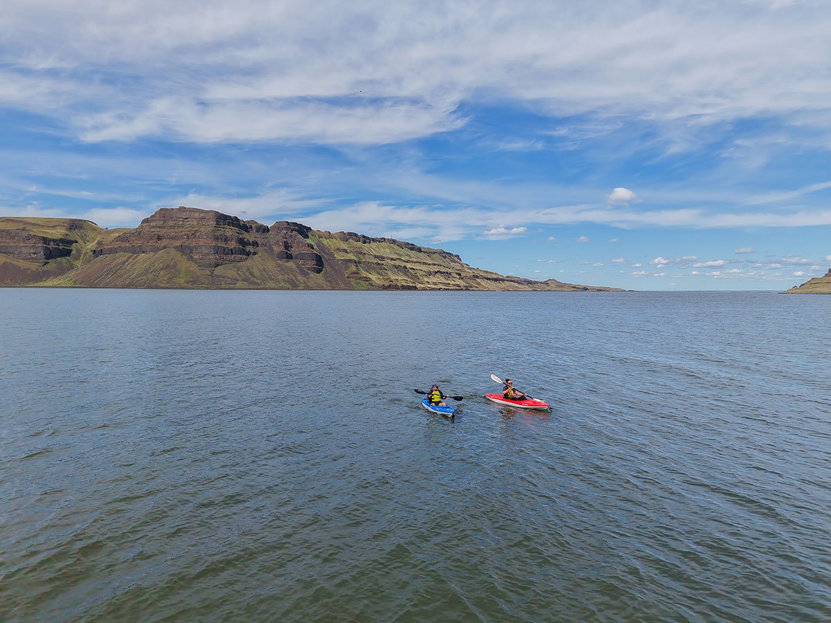
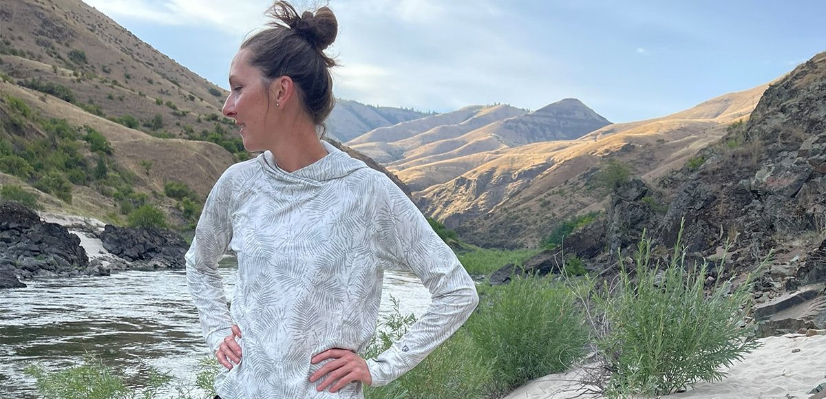
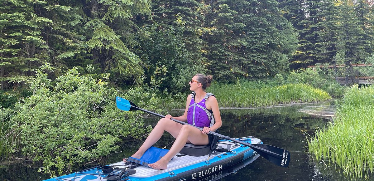
    We are all so fortunate to recreate in the Blue Mountains. So many opportunities exist to play outside whether in a national forest, wilderness area, on a Wild and Scenic River, and more! With these opportunities comes great responsibility to appreciate that we are mere visitors and should all take pride in being good stewards of the wild. Many animals call these protected places home, including moose, elk, bear, cougar, bobcat, and snakes to name a few. Take precautions to respect their home and understand the appropriate response should an encounter occur. 
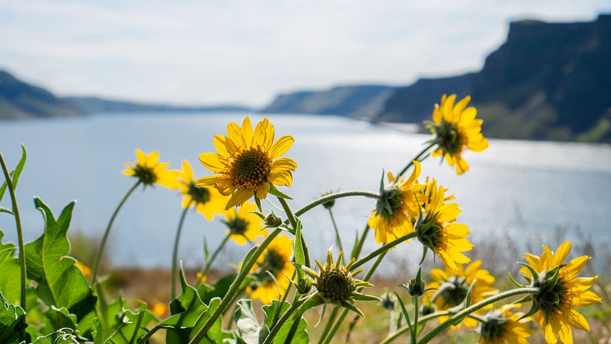
Additionally, many plant species thrive in the Blue Mountains, so staying on trail is always good practice. Carry First Aid supplies to better respond to accidents or encounters, and always let others know where the day's adventure is taking you.

  • Field Notes

    Navigation: Consider downloading the Avenza Map app. This app allows users to upload three maps (or unlimited with a subscription) to use offline. It can track your location offline and overlay GPS data from the phone onto the map. The vehicle use maps (for trails allowing motorized vehicles) are the easiest to use. Otherwise, Geo Tracker offers similar tracking capabilities and additional details about your adventure. If no service, Geo Tracker will at least show your location. The Blue Mountains and surrounding area offer a remote recreating experience, and knowing your location is paramount to staying safe. Always make sure to bring paper maps. Tell others where your adventure is taking you and when you expect to return.

    Difficulty Level: Here is what we are thinking when we assign a difficulty level: Day Tripper--You don't have much experience in the area but want to get outside! Great for families of all ages. Adventurer--You know your way around the Blue Mountains and love a leisurely day outdoors. Mountaineer--You are ready for a challenge. Wild places excite you and sweat is the goal. Small children beware. Keep in mind some activities may apply to multiple difficulty levels based on usage.

    Pets: In general, pets are allowed on a leash and under control throughout jurisdictions. The only restrictions we have encountered are around swimming areas. As a best practice, be mindful of riparian habitat in general. You never know where a precious spawning area might be located. Pack it in and pack it out applies to your furry friend as well.