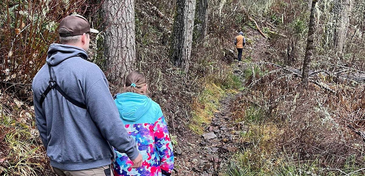
The west end of this trail starts off relatively flat for the first two miles as you make your way through young timber. Along the way you will make a few road crossings, but the trail is easy to follow. Just past the two mile mark you make a small descent with a few switchbacks.
At the five mile mark it’s decision time. Either turn back now while you are still somewhat high up on the ridge, or fully commit and take the plunge down steep switchbacks that lead into old growth forest to the trail bottom at Lookingglass Creek. Cross the creek via a nice bridge, and then start making your way up the steep 1.5 mile steady grade climb to the Luger Spring Trailhead.
On the way up to Luger Spring Trailhead you will come to a road crossing underneath power lines. Turn right and walk/ ride about 100 feet and you will reconnect with the trail. If for some reason you cannot locate the trail, you can follow the road heading northwest (left when you emerge from the trail) for 1.5 miles, and it will take you directly to the primitive campsite and trailhead.
For those using the trail by way of bicycle or motorcycle, keep in mind that this trail does get rocky and loose with areas of large tree roots as you start to make your way down the ridge. Many of the switch backs are very sharp adding to the excitement and/ or difficulty depending on your skill level.
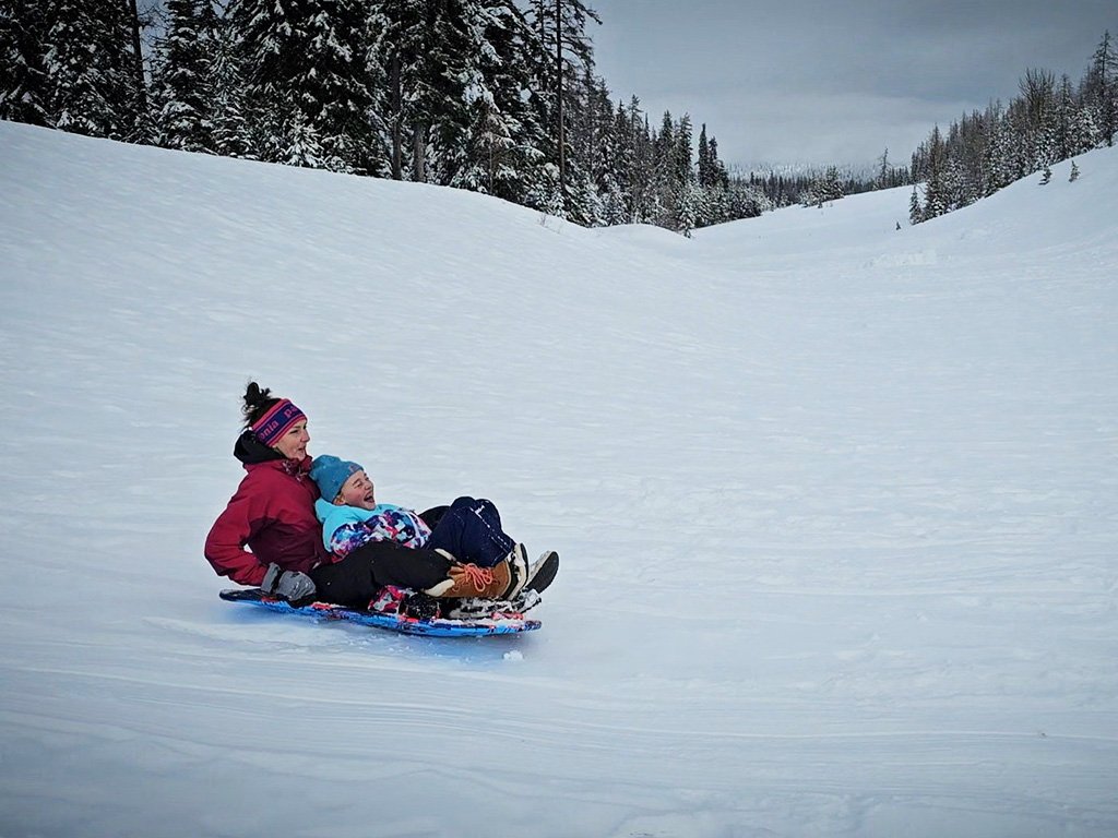
For those who are in the Jubilee Lake area and looking for a short hike, this trail is a pleasant but steep 1.5 mile walk down to Lookingglass Creek from the Luger Spring Trailhead. Luger Pond is nearby as well if you brought your fishing pole.
Amenities
Luger Spring Trailhead has an outhouse located on the backside of the primitive camping area, and there is a stocked fishing pond (Luger Pond) across NF-6306. Woodland Campground is a good home base with access to other trails such as Umatilla Rim Trail (#3080) and Lake Creek Trail (#3018).
Regulations
Motorized vehicles: Class 3 ATV (motorcycles) only. Must have current ORV registration and ATV safety card (motorcycles are a class III ATV). Safety cards are free online if over age 16 and those are good for life. Riders under 16 must take a hands on course. Full details at the Oregon Online ATV Safety Education Course website.
Wildlife Awareness
We are all so fortunate to recreate in the Blue Mountains and Walla Walla Valley. So many opportunities exist to play outside, whether in a national forest, wilderness area, or on a Wild and Scenic River. With these opportunities comes great responsibility to appreciate that we are mere visitors and should all take pride in being good stewards of the wild.
Many animals call these protected places home, including moose, elk, bear, cougar, bobcat, and snakes to name a few. Take precautions to respect their home and understand the appropriate response should an encounter occur.
Additionally, many plant species thrive in the Blue Mountains, so staying on trail is always good practice.
Carry First Aid supplies to better respond to accidents or encounters, and always let others know where the day’s adventure is taking you.
Field Notes
Navigation: Consider downloading the Avenza Map app. This app allows users to upload three maps (or unlimited with a subscription) to use offline. It can track your location offline and overlay GPS data from the phone onto the map. The vehicle use maps (for trails allowing motorized vehicles) are the easiest to use.
Otherwise, Geo Tracker offers similar tracking capabilities and additional details about your adventure. If no service, Geo Tracker will at least show your location. The Blue Mountains and surrounding area offer a remote recreating experience, and knowing your location is paramount to staying safe. Always make sure to bring paper maps. Tell others where your adventure is taking you and when you expect to return.
Pets: In general, pets are allowed on a leash and under control throughout jurisdictions. The only restrictions we have encountered are around swimming areas. As a best practice, be mindful of riparian habitat in general. You never know where a precious spawning area might be located. Pack it in and pack it out applies to your furry friend as well.
Disclaimer: While the Outside Walla Walla team has enjoyed all the adventures listed on this site, we cannot provide real-time conditions & maintenance reports. Extreme weather can change access overnight. Volunteer groups might lose capacity to manage trail systems. We do our best to report that information and update our site accordingly, but please read our Disclaimer (footer) and proceed with any adventure as your comfort level allows.