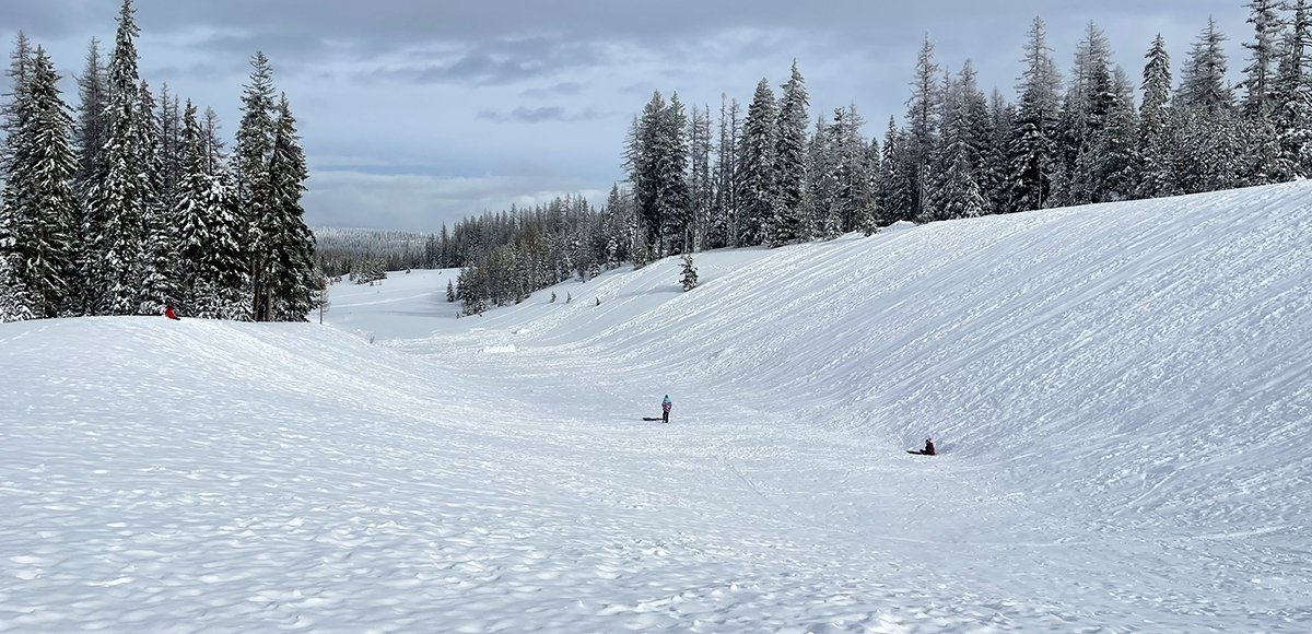
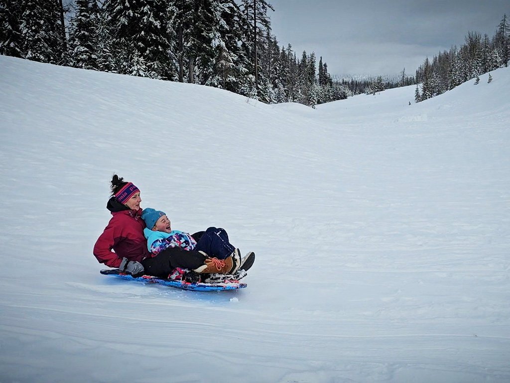
Make sure you are prepared for changing weather (dress in layers, bring food/water, and let somebody know of your plans). On the weekends this area is usually pretty busy. If you can escape during the week, you just might have the place to yourself. Be aware of other folks sledding. Because of the shape of the bowl, people end up sledding toward each other, meeting at the bottom. Make sure to take turns.
The slopes toward the top of the bowl are long and steep, and it is really hard to put the brakes on once you get started. We often walk down past the initial crowd as the slopes aren’t so long or steep. The kids seem to appreciate a gentler slope as well. Check out our video showcasing sledding at Andies Prairie.
Amenities
There are two vault toilets in the parking area.
Regulations
No motorized vehicles are allowed in the Andies Prairie Sno-Park. Many snowmobile trailers park in the lot, but they are utilizing other motorized vehicle trails designated throughout the forest and in close proximity to the parking area.
Wildlife Awareness
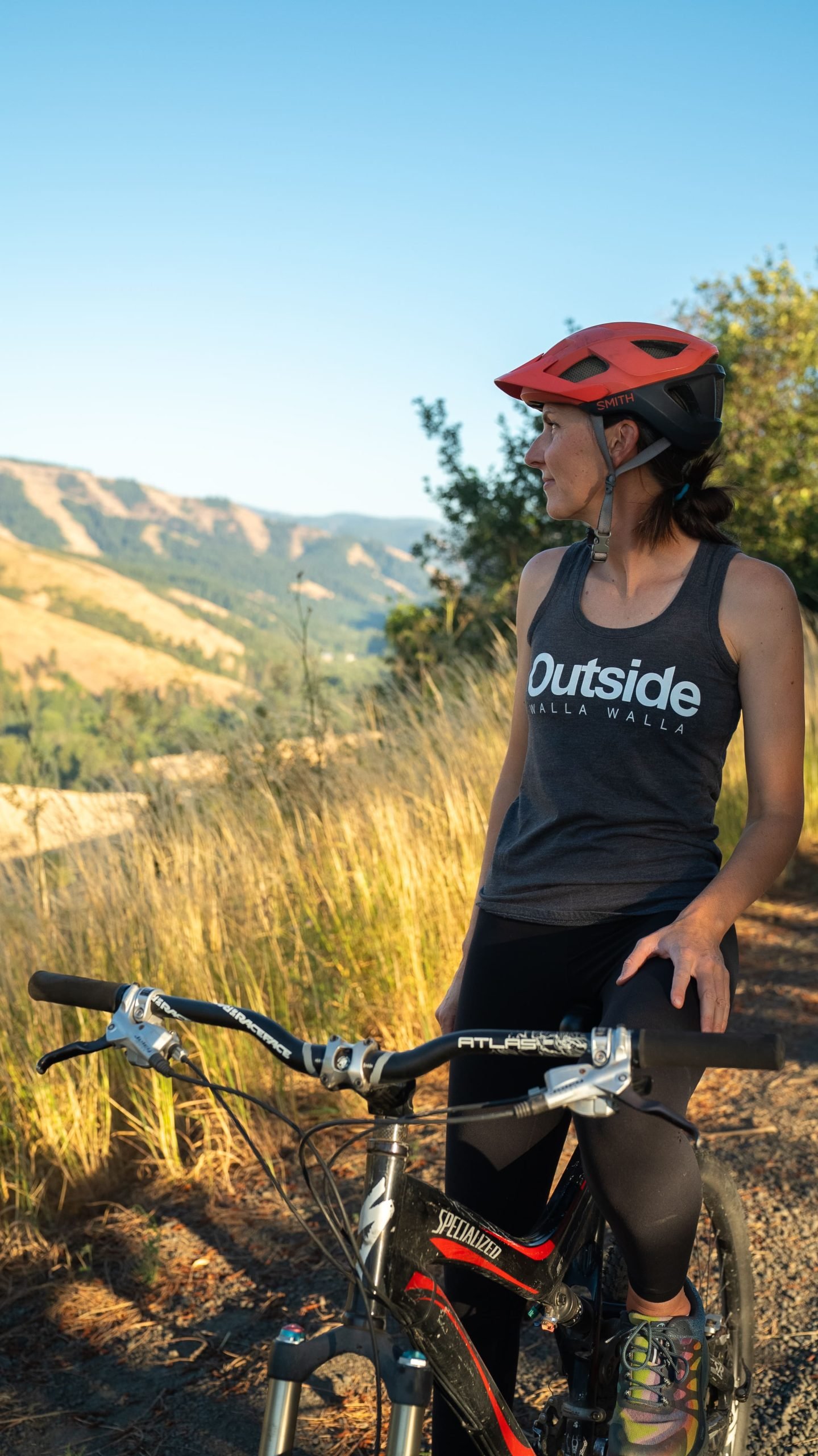
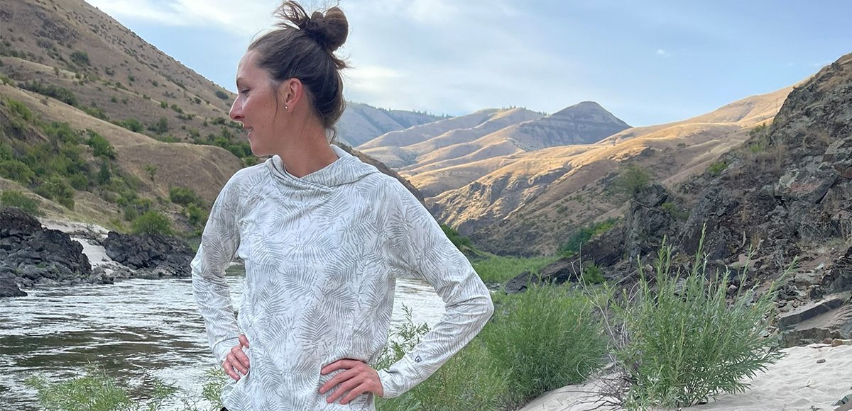
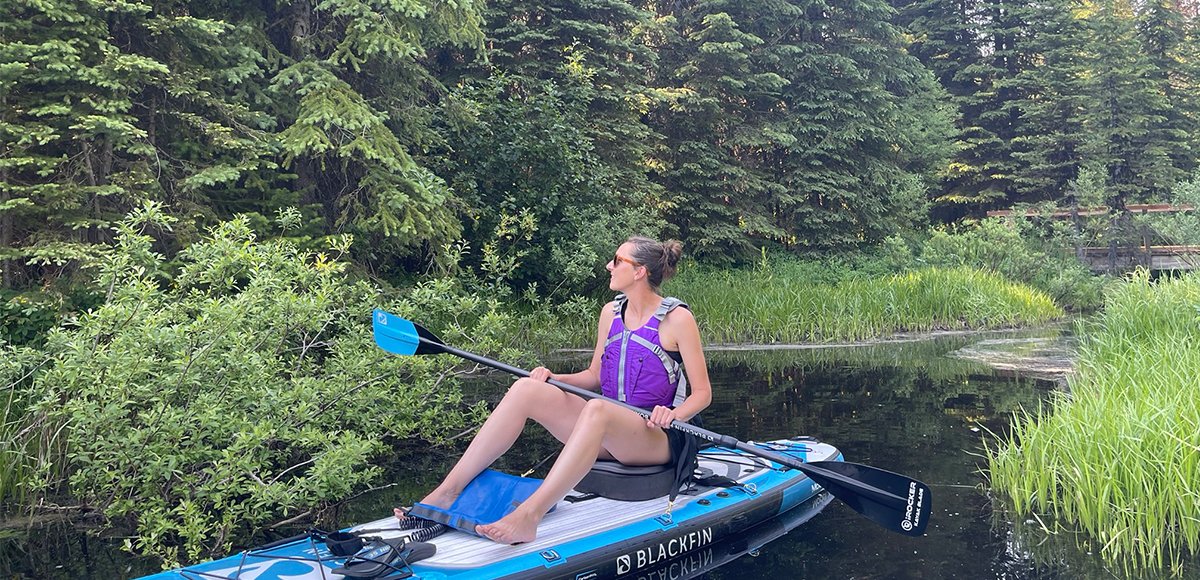
We are all so fortunate to recreate in the Blue Mountains and Walla Walla Valley. So many opportunities exist to play outside, whether in a national forest, wilderness area, or on a Wild and Scenic River. With these opportunities comes great responsibility to appreciate that we are mere visitors and should all take pride in being good stewards of the wild.
Many animals call these protected places home, including moose, elk, bear, cougar, bobcat, and snakes to name a few. Take precautions to respect their home and understand the appropriate response should an encounter occur.
Additionally, many plant species thrive in the Blue Mountains, so staying on trail is always good practice.
Carry First Aid supplies to better respond to accidents or encounters, and always let others know where the day’s adventure is taking you.
Field Notes
Navigation: Consider downloading the Avenza Map app. This app allows users to upload three maps (or unlimited with a subscription) to use offline. It can track your location offline and overlay GPS data from the phone onto the map. The vehicle use maps (for trails allowing motorized vehicles) are the easiest to use.
Otherwise, Geo Tracker offers similar tracking capabilities and additional details about your adventure. If no service, Geo Tracker will at least show your location. The Blue Mountains and surrounding area offer a remote recreating experience, and knowing your location is paramount to staying safe. Always make sure to bring paper maps. Tell others where your adventure is taking you and when you expect to return.
Pets: In general, pets are allowed on a leash and under control throughout jurisdictions. The only restrictions we have encountered are around swimming areas. As a best practice, be mindful of riparian habitat in general. You never know where a precious spawning area might be located. Pack it in and pack it out applies to your furry friend as well.
Disclaimer: While the Outside Walla Walla team has enjoyed all the adventures listed on this site, we cannot provide real-time conditions & maintenance reports. Extreme weather can change access overnight. Volunteer groups might lose capacity to manage trail systems. We do our best to report that information and update our site accordingly, but please read our Disclaimer (footer) and proceed with any adventure as your comfort level allows.