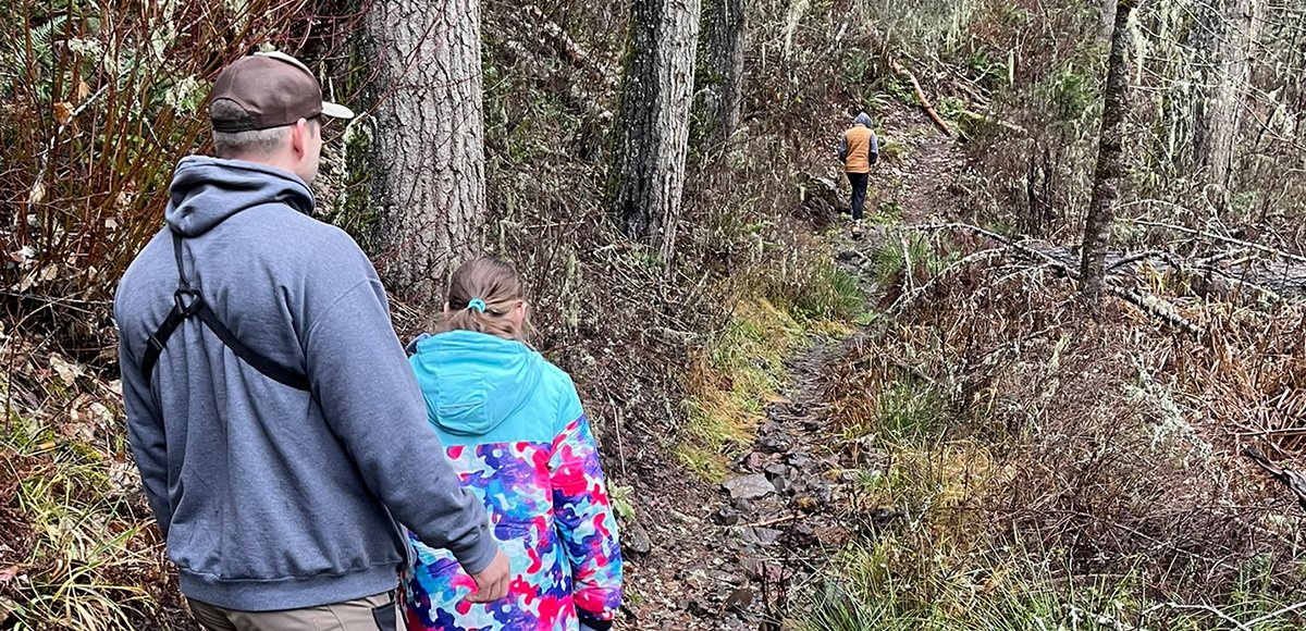
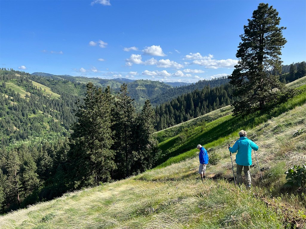
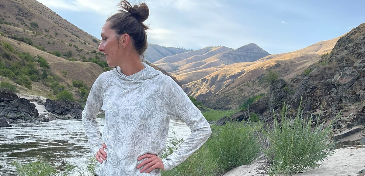
Expect to climb up the mountain at a very doable slope. Our young children managed surprisingly well, and the thought occurred to me that trail running this area could be fun. A few drainage crossings make for slick conditions.
The trail is not maintained regularly so be prepared to duck under a tree or two, push down brush, and navigate areas of slight wash-out on the trail. The trail is never lost. Whether conquering all 13.6 miles out-and-back in one day or going with where the day takes you, this trail will go down as memorable.
Amenities
Pack in and pack out. There are no vault toilets in the area (upper or lower trailhead). The nearest vault toilet is at Umatilla Forks Campground and Umatilla Forks Day-Use Area not far back down the road.
Regulations
Wilderness regulations apply in the North Fork Umatilla Wilderness. Such restrictions include no motorized equipment, bicycles, or hang gliders to name a few. Groups larger than twelve are prohibited as well as caching or leaving equipment or supplies for longer than 72 hours. Most applicable to hikers is the fact that shortcutting a switchback on any trail is also a violation of wilderness regulations. For a complete list of wilderness regulations applicable to those within the , visit the Umatilla National Forest website.
Wildlife Awareness
We are all so fortunate to recreate in the Blue Mountains and Walla Walla Valley. So many opportunities exist to play outside, whether in a national forest, wilderness area, or on a Wild and Scenic River. With these opportunities comes great responsibility to appreciate that we are mere visitors and should all take pride in being good stewards of the wild.
Many animals call these protected places home, including moose, elk, bear, cougar, bobcat, and snakes to name a few. Take precautions to respect their home and understand the appropriate response should an encounter occur.
Additionally, many plant species thrive in the Blue Mountains, so staying on trail is always good practice.
Carry First Aid supplies to better respond to accidents or encounters, and always let others know where the day’s adventure is taking you.
Field Notes
Navigation: Consider downloading the Avenza Map app. This app allows users to upload three maps (or unlimited with a subscription) to use offline. It can track your location offline and overlay GPS data from the phone onto the map. The vehicle use maps (for trails allowing motorized vehicles) are the easiest to use.
Otherwise, Geo Tracker offers similar tracking capabilities and additional details about your adventure. If no service, Geo Tracker will at least show your location. The Blue Mountains and surrounding area offer a remote recreating experience, and knowing your location is paramount to staying safe. Always make sure to bring paper maps. Tell others where your adventure is taking you and when you expect to return.
Pets: In general, pets are allowed on a leash and under control throughout jurisdictions. The only restrictions we have encountered are around swimming areas. As a best practice, be mindful of riparian habitat in general. You never know where a precious spawning area might be located. Pack it in and pack it out applies to your furry friend as well.
Disclaimer: While the Outside Walla Walla team has enjoyed all the adventures listed on this site, we cannot provide real-time conditions & maintenance reports. Extreme weather can change access overnight. Volunteer groups might lose capacity to manage trail systems. We do our best to report that information and update our site accordingly, but please read our Disclaimer (footer) and proceed with any adventure as your comfort level allows.