Access points into the Umatilla National Forest are roughly an hour from town. There are a handful of trails that have an upper trailhead and lower trailhead. Unlike a loop trail, this means that when the snow starts to accumulate at higher elevations, the lower trailheads are more likely available year-round.
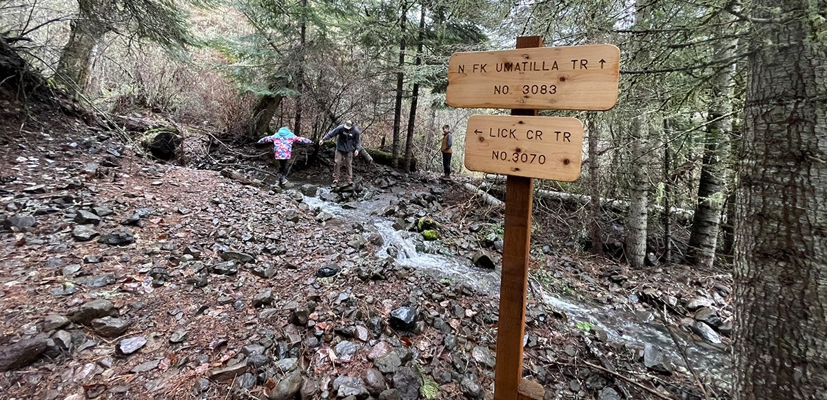
Heading south from Walla Walla and just past Athena, Oregon, the roads less traveled lead to even more remote recreation opportunities. Along the Umatilla River and approximately 1.5 hours from Walla Walla, there are five trails that climb into the North Fork Umatilla Wilderness Area. The Lick Creek, North Fork Umatilla River, Nine Mile Ridge, Buck Creek, and Buck Mountain trails are connected via the Tie Trail that the Blue Mountain Land Trust’s Blues Crew, a volunteer trail maintenance group, has worked very hard to revitalize for enhanced connectivity.
An extremely important note about how to reach these trails—the bridge on Spring Hollow Road is impassible. The flood in 2020 destroyed it. Some apps will direct you to take Pambrum Road and connect to Spring Hollow Road. This will inevitably lead to a roughly ten mile backtrack to the highway. Turn on Mann Road. Currently, Google Maps is reflecting the correct route, and additional notes are located in our “How to Get There” section of the respective trail post.
The passable route does involve gravel roads. These roads are typically well maintained, but expect some water running over the road depending on the weather, potholes, and mud. It is still winter, and we pack a shovel based on a few hard-learned lessons.